How Can We Use Urban Data Analytics for Better Cities?
Issue #30
I’m Vignesh Kaushik. I curate and write articles on Thank God It’s Computational to help architects, designers, and urban planners leverage cutting-edge technologies on AEC projects.
TGIC is a community-driven platform providing concise technology education to students and professionals in the AEC industry to learn at their own pace. If you’re not a member, consider joining the community and supporting our work.
The generation, collection, and analysis of digital data can help understand scenarios, predict outcomes, and improve decisions and policies. The use of data analytics for urban improvement is rapidly being employed by many cities around the world. Intelligent software tools and advanced computing technologies provide, for the first time ever, the ability to sort through the immense streams of data generated by cities and their dwellers and make a real impact on our quality of life. Let's explore a few technologies that not only help collect urban data but also make sense of it and provide valuable insights.
Bike Citizens • Enhancing Cycling Intelligence
URBAN DATA ANALYTICS

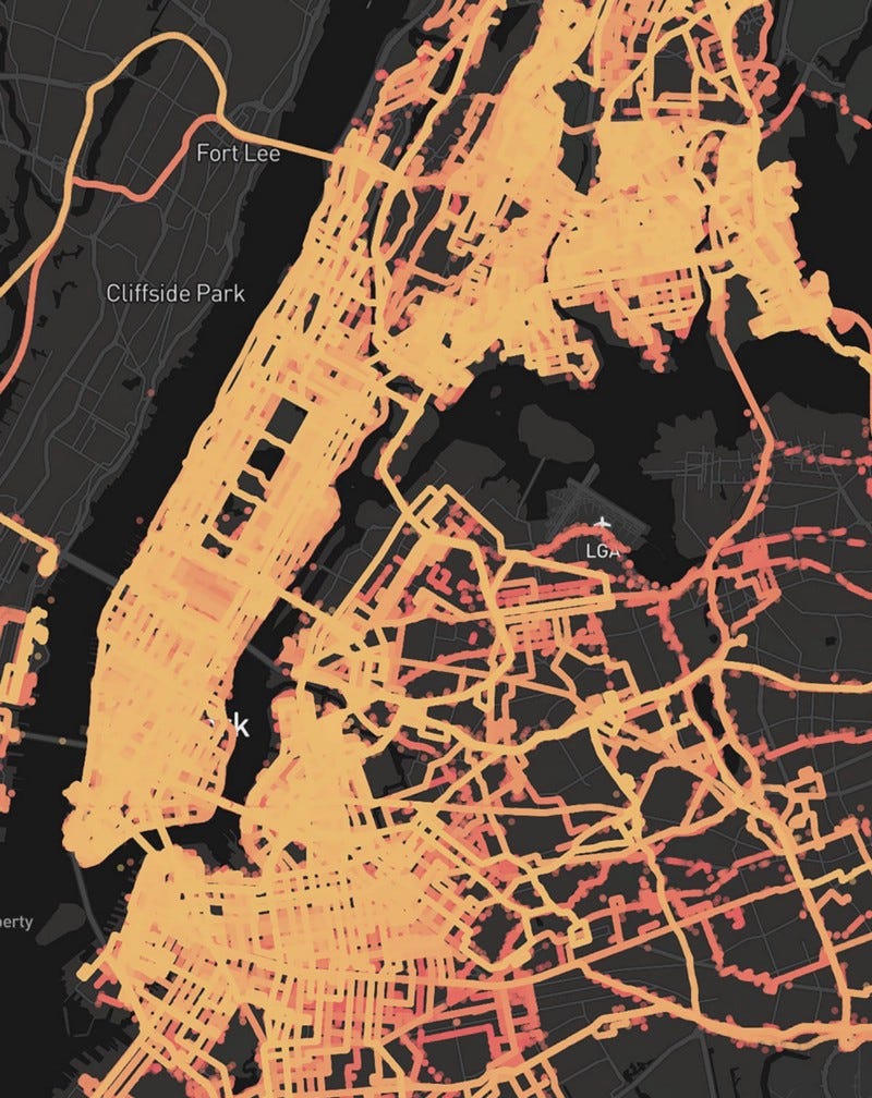
Bike Citizens’ analytics shows the city from a cyclist’s perspective using anonymised data that is voluntarily provided by users of its app. By using data such as – which traffic lights and crossings are slowing down the bicycle traffic? Which paths/one-way streets need to be opened up to cyclists so that people on bikes can get around the city quicker? What are the effects of closing gaps on the cycle network?
Strava Metro • App For Athletes Became An App For Cities
URBAN DATA ANALYTICS

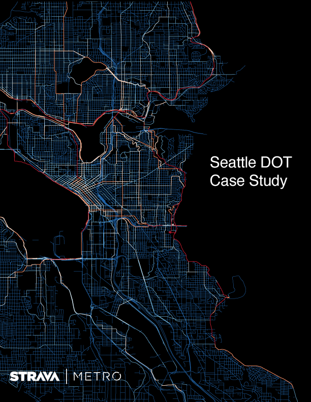
Strava is one of those apps that lets users track their travels, workouts, bike commutes, and steps–and compete with others on the same routes. But it also has a division, called Strava Metro, that gathers together the anonymized data from millions of bike rides and uses it to find patterns on how, when, and where people ride. Now it is sharing that data with transportation departments in cities around the world, with the goal of improving street infrastructure.
Carmera Site Intelligence • Street-level Intelligence Platform
3D DATA MAPPING

Carmera Site Intelligence provides architects, engineers, and planners with spatial data and location analytics for construction sites. The data will be most useful in cutting down on the need for site visits, gathering physical site data like photos or waiting for third-party data for weeks. One can access Carmera’s data right away and use the imagery to show the environment while designing their projects. The data will be useful in the design process immediately, particularly for firms using BIM.
The Future of Mapping using Super Accurate GPS
3D DATA MAPPING

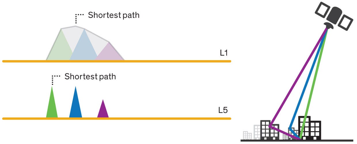
In September, Broadcom announced that it is providing customers samples of the first mass-market chip to take advantage of a new breed of global navigation satellite signals. This new chip will give the next generation of smartphones 30-centimeter accuracy as opposed to today’s 5 meters.
Podaris • Real-time Collaborative Transport Planning
URBAN DATA ANALYTICS

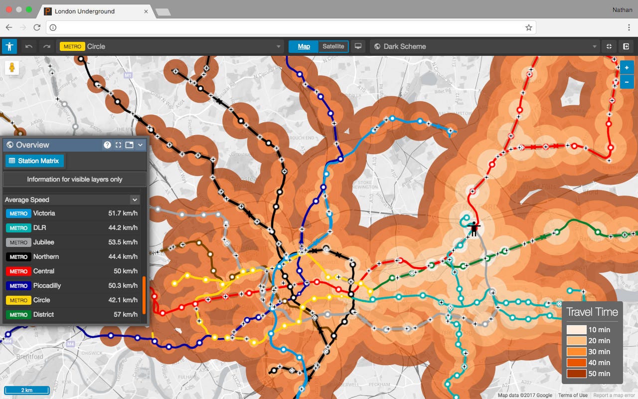
Podaris gives you powerful tools for proposal development and feasibility studies, letting you create transport plans more rapidly, accurately, and collaboratively than ever before — in any web browser.

