How Do We Predict Urban Floods?
Issue #28
I’m Vignesh Kaushik. I curate and write articles on Thank God It’s Computational to help architects, designers, and urban planners leverage cutting-edge technologies on AEC projects.
TGIC is a community-driven platform providing concise technology education to students and professionals in the AEC industry to learn at their own pace. If you’re not a member, consider joining the community and supporting our work.
Let's take a look at some of the available flood forecasting technologies and how they can help AEC professionals understand the impact of flooding. I would say that, at this point, we aren't still at the cutting-edge of this technology, as it requires multiple layers of data at a city level (buildings, services, population, infrastructure etc.) for us to predict the network effects of urban flooding. But there are promising efforts by Govt. agencies across the world to deploy City Information Model (CIM) that will help us leverage the underlying data required to run an advanced urban flooding simulation.
Opti • Optimize Stormwater Infrastructure
STARTUPS

Opti helps prevent flood overflow with software that monitors weather forecasts and predicts how water levels in retention ponds should be adjusted. As a big storm approaches, the Opti system will remotely open a discharge valve and drain ponds to make room for the expected rainfall. When the rain stops, the system will gradually release excess water in a way that doesn't overwhelm nearby rivers.
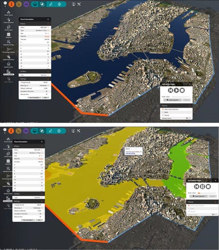
RiverFlow2D • Flood Simulation Plug-in for Autodesk InfraWorks
SIMULATION PLUG-IN

RiverFlow 2D offers the simplicity of two-dimensional flood simulations, where the user has the ability to simulate, visualize and animate 2D flood simulations directly in Autodesk InfraWorks model environment while using RiverFlow 2D's computational model.
Mike Flood • Urban, Coastal and Riverine Flooding
STANDALONE SIMULATION TOOLS

MIKE FLOOD is a unique, integrated modelling package, which is specifically developed and tailored for storm surge, floodplain and urban flood modelling applications. MIKE FLOOD enables you to model virtually any flood problem – whether it involves rivers, floodplains, flooding in streets, drainage networks, coastal areas, dam or levee breaches or any combination of these.
Caesar-Lisflood • Landscape Evolution Models
OPEN-SOURCE SIMULATION TOOLS

Caesar Lisflood is a geomorphological / Landscape evolution model that combines the Lisflood-FP 2d hydrodynamic flow model with the CAESAR geomorphic model to simulate erosion and deposition in river catchments and reaches over time scales from hours to 1000's of years.
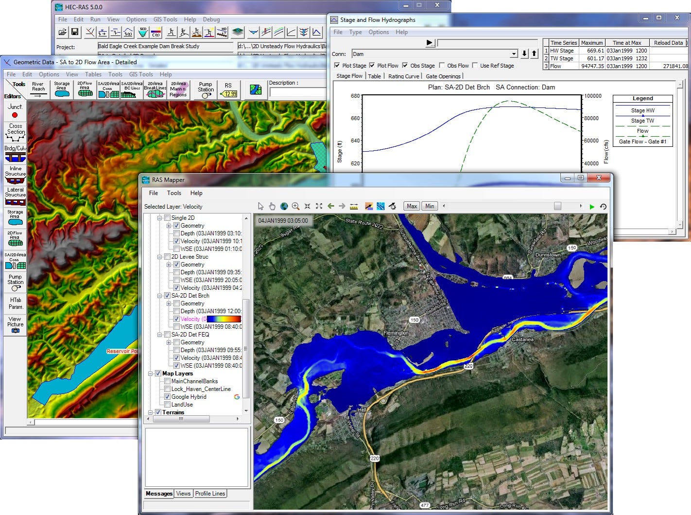
HEC-RAS • Extension for ArcGIS
OPEN-SOURCE SIMULATION TOOLS

HEC-RAS (Hydrological Engineering Centre - River Analysis System) is a one-dimensional hydraulic modelling program that allows simulating flow in natural riverbeds or artificial channels to determine the water level being its main goal develop flood studies and determine floodable areas.

