Why Do Cities Need a Digital Twin?
Issue #36
I’m Vignesh Kaushik. I curate and write articles on Thank God It’s Computational to help architects, designers, and urban planners leverage cutting-edge technologies on AEC projects.
TGIC is a community-driven platform providing concise technology education to students and professionals in the AEC industry to learn at their own pace. If you’re not a member, consider joining the community and supporting our work.
Digital twins are seen as a bridge between the physical and digital worlds. By turning data about a physical object into a model, we gain access to new ideas and insights. A digital twin for cities will help urban planners and policymakers visualize the insights gained from various sensor networks and use them to make informed decisions.
A typical GIS map of a utility network is not a Digital Twin. The data used in the GIS system is very often out of date moments after it is captured, meaning that it is not a true reflection of reality. However, Digital Twin is the natural evolution of GIS.
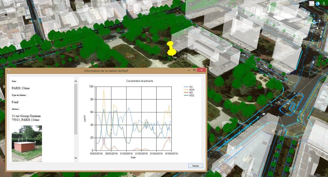
Between the sensor cloud, mobile technologies, BIM and GIS, we’re now seeing an explosion in the amount of data being created. A click on a building can show how much electricity it consumes. We can even go down to the pedestrian level, looking at accessibility, traffic and availability of shaded walkways.
Singapore is one of the latest examples of digital twins, as the entire country is currently being fully mapped out in the digital world.
Let’s take a look at five software tools that help urban planners & policymakers build real-time digital versions of their cities.
3DEXPERIENCity • 3D Collaborative Environment for Cities
DIGITAL TWIN

The 3DEXPERIENCity is the virtual double of the real existing city, capturing changes as they occur over time. Data developed at different scales can be integrated into one collaborative platform, fostering the development of effective public policies. The continuous feedback between the virtual dynamic city model and the real city ensures that both represent each other. Virtual Singapore is an online platform that gives insight into the country’s real-time functioning, and the government shares data with the private sector and the public.
CityZenith • All-in-One Digital Twin Solution for the Real Estate Industry
DIGITAL TWIN

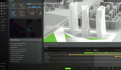
Smart World Pro revolutionizes the way Architects and Property Owners use public, project, and property data to make better decisions during the planning, design, and operational phases of the building lifecycle. Users can aggregate BIM, CAD, CRE, and GIS tools, spreadsheets, documents, IoT and BMS sensor feeds, social media posts, etc., all in one universal 3D data platform.
Bentley 3D Cities • Re-imagining Urban Planning
DIGITAL TWIN

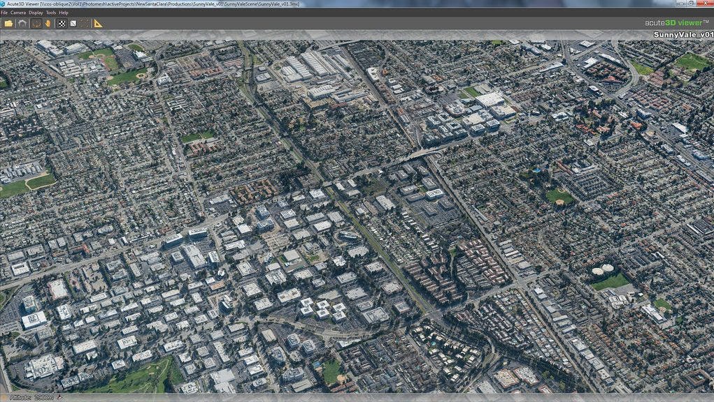
The 3D Cities solution provides an integrated above- and below-ground information model of the city comprising the built environment and utility infrastructure. Manage, edit, analyze, and visualize large 3D city models for practical applications such as advanced thematic mapping, line of sight studies, noise simulations, urban planning, zoning, and 3D cadastre.
Genview 3D • Cockpit for Smart Cities
DIGITAL TWIN

By regrouping data coming from multiple sources, GenView 3D recreates a dynamic virtual representation of the city. GenView 3D provides the information restitution layer among the various solutions used for Smart Cities. It enables cities' representatives to visualize the data produced, by transforming it into valuable information such as KPIs, processes and activities, in order to ensure proper governance and smart decision-making.
SIRADEL's Smart City Explorer • Open architecture for 3D engineering and simulation
DIGITAL TWIN

Smart City Explorer is an open and collaborative platform with advanced features for interactive 3D visualization, simulation and planning for urban infrastructure projects. It has been developed around a plugin-based architecture: an API allows connecting SIRADEL or 3rd-party simulation software to the platform. Other computational tools can also be plugged and used in an interactive way (noise, air quality, solar potential, wind…).

